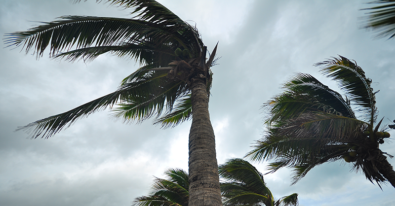
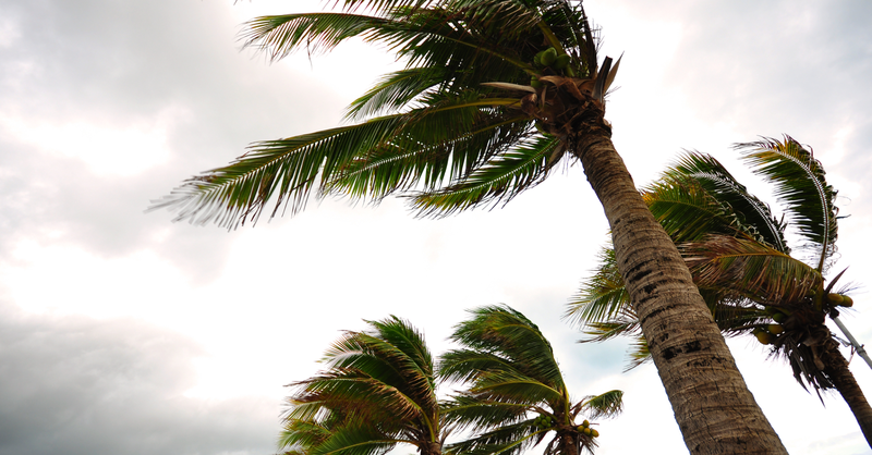
Less Active Hurricane Season Than 2024 Predicted This Year, but Still Higher Than Average

The National Oceanic and Atmospheric Administration (NOAA) predicts that the 2025 hurricane season may not be as active as last year but is still anticipated to be a chance of 60% higher-than-average hurricane activity. Read on to learn more about why staying vigilant this season can help you proactively address potential exposure:
What’s Changed Since Last Year?
Neutral conditions in the El Niño-Southern Oscillation (ENSO) are the most probable outcome during peak hurricane season this year, according to NOAA. This means that wind shear is expected to be weak, creating a favored environment for tropical storm formations.
In contrast, last year, we experienced the La Niña effect of cooler-than-average sea surface temperatures, which potentially contributed to higher and stronger Atlantic hurricane activity.
Year-Over-Year Comparison
Average | 2024 Season | 2025 Season | |
Total storms | 14 | 18 | 19 |
Hurricanes | 7 | 11 | 10 |
CAT 3+ | 3 | 5 | 5 |
Hit landfall | 3 | 5 | 3 |
Table Source: National Oceanic and Atmospheric Administration
Stay Vigilant
Regardless of the number that form, the only question that matters is how many hurricanes make landfall, Warmer-than-average water temperatures in the Gulf and Caribbean, along with upper-level winds, could steer more storms toward the U.S. instead of sending them safely out to sea. This year’s forecast currently calls for three hurricanes to hit landfall, which is two fewer than in 2024.
Regardless of what the seasonal outlooks say, the U.S. experiences at least one hurricane making landfall each year. Staying prepared and aware may help you proactively plan for potential exposures as the hurricane season unfolds.
What to Do Before the Storm?
Tropical cyclones present several threats. Although strong wind may be the primary one typically associated with storms, water hazards including storm surge and heavy rainfall present greater hazards. Here are some practical tips you could implement to maximize damage prevention for your property:
- Pre-inspection: Complete a thorough documented inspection of your property to identify potential problems. Do this before a hurricane watch (36 hours in advance) or warning (24 hours) is issued.
- Consider hiring an architectural or engineering professional certified by a state or municipal retrofit program.
- Window protection: Install storm shutters, or board up windows using five-eighths inch marine plywood cut to fit. Avoid using tape, as it does not prevent breakage.
- Seal openings: Cover exterior openings such as vents and outdoor electrical outlets using urethane-based caulk to prevent water intrusion.
- Strengthen doors: Install hurricane-proof doors with at least three hinges and a one-inch long dead bolt lock. Use temper glass for sliding doors and protect them like windows. Reinforce garage doors with wind- and impact-rated systems.
- Reinforce roofing: Use straps or hurricane clips to secure roof connections. For gable-end roofs, add bracing to increase wind resistance.
- Landscaping: Remove weak trees, trim branches and shrubbery, and replace gravel with fire-resistant materials.
- Secure outdoor property: Move boats and trailers to safe and secure locations. Bring smaller items indoors. Secure fencing and mailboxes to the ground is possible.
Additional Hurricane Safety Tips
- Emergency plan: Consider drafting a comprehensive formal written plan that addresses all efforts to be taken during and after a tropical storm. This will help to ensure that all possible measures are being considered and implemented to prevent and mitigate damage. It can be easy to overlook a simple measure in the chaos and aftermath of a tropical storm.
- Stay informed: Take time to learn about your property, including elevation and if it is located in a flood zone or in an area prone to flooding. Identify nearby bodies of water as well as levees, dams, etc. Ensure information is being gathered from official sources that are qualified to provide reliable information.